Severe Thunderstorm Warning issued May 18 at 4:25PM EDT until May 18 at 5:00PM EDT by NWS Wilmington OH (details ...)
SVRILN The National Weather Service in Wilmington has issued a * Severe Thunderstorm Warning for... Northwestern Darke County in west central Ohio... Mercer County in west central Ohio... * Until 500 PM EDT. * At 425 PM EDT, a severe thunderstorm was located near Fort Recovery, moving northeast at 30 mph. HAZARD...60 mph wind gusts and quarter size hail. SOURCE...Radar indicated. IMPACT...Minor hail damage to vehicles is possible. Expect wind damage to trees and power lines. * Locations impacted include... Celina, Coldwater, St. Henry, Union City, Fort Recovery, Chickasaw, Burkettsville, North Star, Rossburg, Montezuma, New Weston, North Dayton, Rose Hill, Cosmos, Maria Stein, Eldora Speedway, Neptune, and Carthagena.
Special Weather Statement issued May 18 at 4:00PM EDT by NWS Wilmington OH (details ...)
At 400 PM EDT, strong thunderstorms were located along a line extending from 6 miles east of Monroe to 11 miles north of Hagerstown, moving northeast at 50 mph. HAZARD...Wind gusts up to 50 mph and pea size hail. SOURCE...Radar indicated. IMPACT...Gusty winds could knock down tree limbs and blow around unsecured objects. Hail may cause minor damage to vegetation. Locations impacted include... Greenville, Celina, Coldwater, St. Henry, Union City, Fort Recovery, Ansonia, Rockford, Wabash, Wayne Lakes, Mendon, Osgood, Chickasaw, Burkettsville, North Star, Rossburg, Palestine, Montezuma, New Weston, and Yorkshire. If outdoors, consider seeking shelter inside a sturdy building. A Severe Thunderstorm Watch remains in effect until 600 PM EDT for west central Ohio. To report hazardous weather conditions, go to our website at weather.gov/iln and submit your report via social media, when you can do so safely.
Severe Thunderstorm Watch issued May 18 at 11:11AM EDT until May 18 at 6:00PM EDT by NWS Wilmington OH (details ...)
THE NATIONAL WEATHER SERVICE HAS ISSUED SEVERE THUNDERSTORM WATCH 220 IN EFFECT UNTIL 6 PM EDT THIS EVENING FOR THE FOLLOWING AREAS IN OHIO THIS WATCH INCLUDES 2 COUNTIES IN WEST CENTRAL OHIO AUGLAIZE MERCER THIS INCLUDES THE CITIES OF CELINA, COLDWATER, MINSTER, NEW BREMEN, ST. MARYS, AND WAPAKONETA.
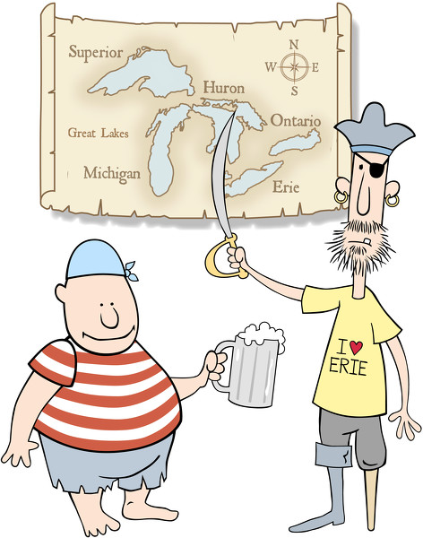
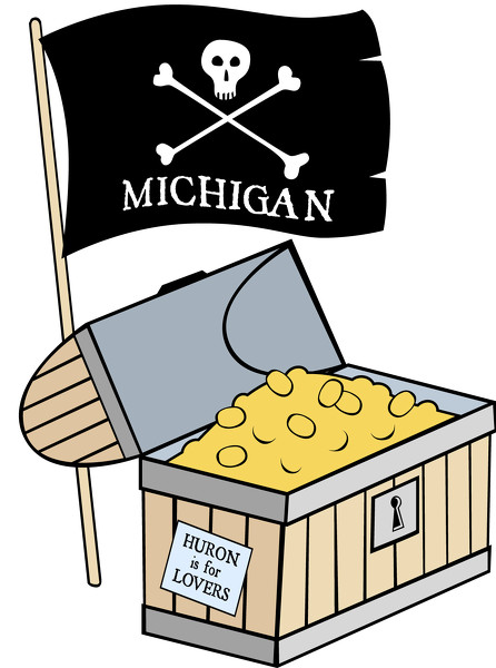
ST. MARYS - The word "pirate" usually evokes images of swashbuckling, eyepatch-wearing, peg-legged and parrot-wielding buccaneers who traveled the high seas. [More]
ROSSBURG - Rainy weather continued to play havoc with the racing weekend at Eldora Speedway, forcing speedway officials to postpone the twin 25-lap preliminary feature events for the 28th annual Dirt Late Model Dream until this afternoon at 3 p.m.