The Daily Standard
Pictures Archive

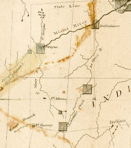
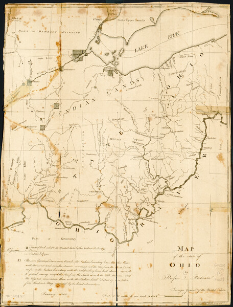
This detail of a 1803 map of Ohio by Rufus Putnam that shows the Wabash River flowing southwest from Fort Recovery. It also places the longitude of Fort Wayne east on Fort Recovery.