Severe Thunderstorm Warning issued March 22 at 8:23PM EDT until March 22 at 9:00PM EDT by NWS Wilmington OH (details ...)
SVRILN
The National Weather Service in Wilmington has issued a
* Severe Thunderstorm Warning for... Northern Darke County in west central Ohio... Western Auglaize County in west central Ohio... Mercer County in west central Ohio...
* Until 900 PM EDT.
* At 822 PM EDT, severe thunderstorms were located along a line extending from near Monroe to Redkey, moving east at 50 mph.
HAZARD...60 mph wind gusts and quarter size hail.
SOURCE...Radar indicated.
IMPACT...Minor hail damage to vehicles is possible. Expect wind damage to trees and power lines.
* Locations impacted include... Celina, St. Marys, Coldwater, St. Henry, Fort Recovery, Rockford, Wabash, Mendon, Osgood, Chickasaw, Burkettsville, North Star, Montezuma, New Weston, Yorkshire, Chattanooga, Kossuth, Tama, North Dayton, and Maria Stein.
Severe Thunderstorm Watch issued March 22 at 5:43PM EDT until March 23 at 12:00AM EDT by NWS Wilmington OH (details ...)
THE NATIONAL WEATHER SERVICE HAS ISSUED SEVERE THUNDERSTORM WATCH 73 IN EFFECT UNTIL MIDNIGHT EDT TONIGHT FOR THE FOLLOWING AREAS
IN INDIANA THIS WATCH INCLUDES 8 COUNTIES
IN EAST CENTRAL INDIANA
FAYETTE UNION WAYNE
IN SOUTHEAST INDIANA
DEARBORN FRANKLIN OHIO RIPLEY SWITZERLAND
IN KENTUCKY THIS WATCH INCLUDES 3 COUNTIES
IN NORTHERN KENTUCKY
BOONE CAMPBELL KENTON
IN OHIO THIS WATCH INCLUDES 32 COUNTIES
IN CENTRAL OHIO
DELAWARE FAIRFIELD FAYETTE FRANKLIN HOCKING LICKING MADISON PICKAWAY UNION
IN SOUTH CENTRAL OHIO
ADAMS HIGHLAND PIKE ROSS SCIOTO
IN SOUTHWEST OHIO
BROWN BUTLER CLERMONT CLINTON HAMILTON WARREN
IN WEST CENTRAL OHIO
AUGLAIZE CHAMPAIGN CLARK DARKE GREENE HARDIN LOGAN MERCER MIAMI MONTGOMERY PREBLE SHELBY
THIS INCLUDES THE CITIES OF ABERDEEN, ADA, ALEXANDRIA, AURORA, BATESVILLE, BEAVERCREEK, BELLEFONTAINE, BELLEVUE, BLANCHESTER, BRIGHT, BROOKVILLE, BURLINGTON, CAMDEN, CELINA, CHILLICOTHE, CIRCLEVILLE, COLDWATER, CONNERSVILLE, COVINGTON, DAY HEIGHTS, DAYTON, DELAWARE, DILLSBORO, DOWNTOWN CINCINNATI, DOWNTOWN COLUMBUS, DOWNTOWN DAYTON, EATON, ERLANGER, FAIRBORN, FAIRFIELD, FLORENCE, FORT THOMAS, FRANKLIN, GEORGETOWN, GREENDALE, GREENFIELD, GREENVILLE, HAMILTON, HIDDEN VALLEY, HIGHLAND HEIGHTS, HILLSBORO, INDEPENDENCE, KENTON, KETTERING, LANCASTER, LANDEN, LAWRENCEBURG, LEBANON, LIBERTY, LOGAN, LONDON, MANCHESTER, MARYSVILLE, MASON, MIDDLETOWN, MILAN, MILFORD, MINSTER, MOUNT CARMEL, MOUNT ORAB, MOUNT REPOSE, MULBERRY, NEW BREMEN, NEWARK, NEWPORT, OAKBROOK, OSGOOD, OXFORD, PEEBLES, PICKERINGTON, PIKE LAKE, PIKETON, PIQUA, PLAIN CITY, PORTSMOUTH, RICHMOND, RIPLEY, RISING SUN, SEAMAN, SIDNEY, SPRINGBORO, SPRINGFIELD, ST. MARYS, SUMMERSIDE, TIPP CITY, TROY, URBANA, VERSAILLES, VEVAY, WAPAKONETA, WASHINGTON COURT HOUSE, WAVERLY, WEST COLLEGE CORNER, WEST JEFFERSON, WEST UNION, WHEELERSBURG, WILMINGTON, WINCHESTER, WITHAMSVILLE, AND XENIA.
Severe Thunderstorm Warning issued March 22 at 8:26PM EDT until March 22 at 9:00PM EDT by NWS Wilmington OH (details ...)
At 826 PM EDT, severe thunderstorms were located along a line extending from near Ada to near Lakeview, moving east at 60 mph.
HAZARD...Half dollar size hail.
SOURCE...Broadcast media.
IMPACT...Minor damage to vehicles is possible.
Locations impacted include... Kenton, Ada, Forest, Lakeview, Dunkirk, Alger, Waynesfield, Belle Center, Chippewa Park, Blanchard, Roundhead, Mount Victory, Mcguffey, Ridgeway, Patterson, Dola, Huntersville, Pfeiffer, Big Springs, and State Route 195 at State Route 235.
32° 32° Mon 47° Mon 47° 29° 29° Tue 53° Tue 53°
Tuesday, June 3rd, 2025
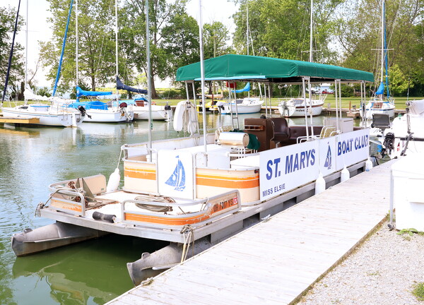
What you need to know about boating safety
By Abigail Miller
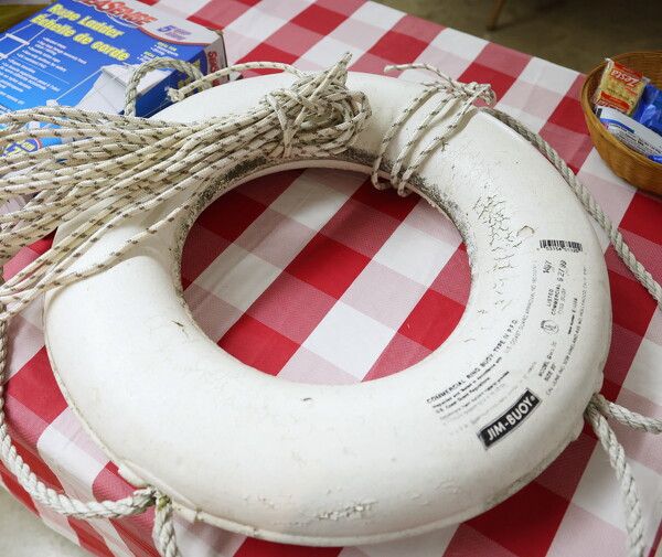
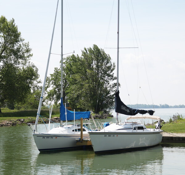
ST. MARYS - Whether in a kayak, sailboat or motorboat, the easiest way to ensure the perfect ride on Grand Lake's waters is to take the proper safety precautions.
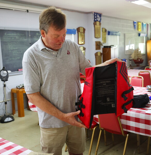
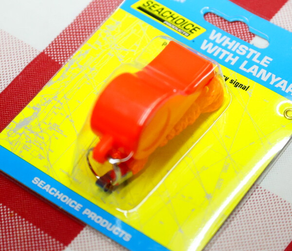
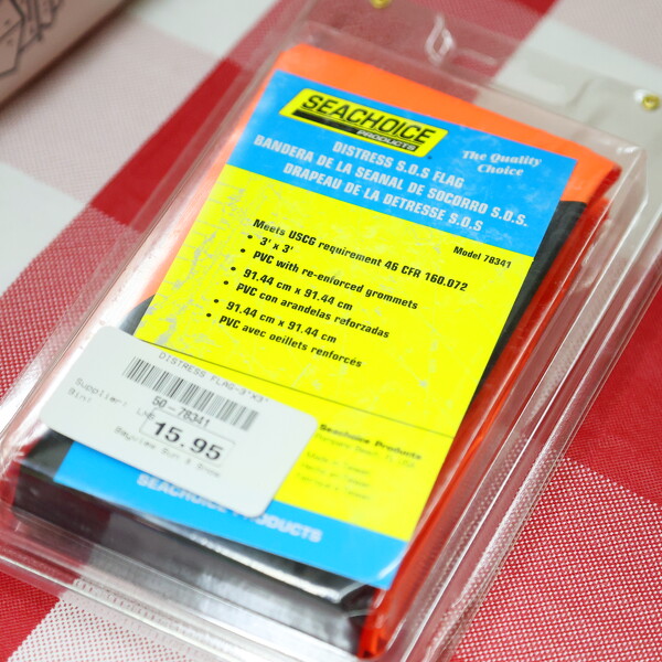
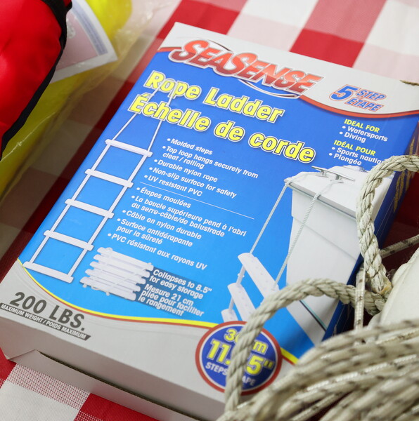
According to U.S. Coast Guard data, drowning accounts for 75% of recreational boating deaths - and 87% of those victims were not wearing a life jacket. [More]
Obituaries on June 3rd, 2025
Kenneth G (Jerry) Rodriguez, age 64, of Lancaster, Ohio, passed away peacefully on May 26, 2025. [More]
Local pictures on June 3rd, 2025
Subscriber stories on June 3rd, 2025
CELINA - The Mercer County Zoning Commission will hold a public hearing on a proposal to regulate small solar facilities under 50 megawatts via amendments to the county zoning code. Officials say the purpose of the changes is to protect property values and ensure neighborhood compatibility.
FORT RECOVERY - Village councilors on Monday heard that the striping and seeding portions of the Butler Street reconstruction project are done, with a final walk-through of the project slated within the next week.
COLDWATER - Mercer Health has greatly enhanced its capabilities to detect maladies such as lung cancer, breast cancer and heart disease in their early stages with the addition of new state-of-the-art equipment in the radiology department.
CELINA - Two Columbus men were arrested on Sunday after getting caught allegedly stealing over $2,000 in merchandise from the Celina Walmart.
A cri
Mercer County road crews will start their yearly chip and seal work this week on approximately 75 miles of rural local roads, Mercer County Engineer Jim Wiechart announced in a news release.
LIMA - Area Agency on Aging 3 is facing restructuring in the coming months due to a nonrenewal of a private provider contract, the agency announced i
Marion makes first trip to regional since 1981; Coldwater and Minster back in Sweet 16
Trips to the regional baseball tournament are nothing new to Coldwater, Minster and Fort Recovery, which is playing today and had its preview in Monday's paper.
Grand Lake Fishing Report
Good day everyone. I hope everyone is doing great.
I think we may be close to warm days in the horizon. We may finally be ready to enjoy the summer since we are in June.