Cold Weather Advisory issued February 6 at 2:00AM EST until February 7 at 12:00PM EST by NWS Wilmington OH (details ...)
* WHAT...Very cold wind chills as low as 15 below zero expected.
* WHERE...Portions of east central Indiana and central, south central, southwest, and west central Ohio.
* WHEN...From 1 AM to noon EST Saturday.
* IMPACTS...The cold wind chills as low as 15 below zero could result in hypothermia if precautions are not taken.
Winter Weather Advisory issued February 6 at 1:54AM EST until February 6 at 6:00PM EST by NWS Wilmington OH (details ...)
* WHAT...Snow expected. Total snow accumulations between 2 and 3 inches.
* WHERE...Portions of east central Indiana, northeast and northern Kentucky, and central, south central, southwest, and west central Ohio.
* WHEN...From 6 AM this morning to 6 PM EST this evening.
* IMPACTS...Plan on slippery road conditions. The hazardous conditions could impact the Friday morning and evening commutes.
17° 17° chance slight chance Fri 34° Fri 34° light Sat 16° Sat 16°
Tuesday, August 29th, 2006
Photo by Mark Pummell/The Daily Standard

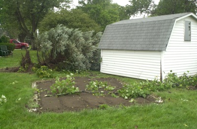
A shed now rests yards away from its former location in a yard along Hoge Street in New Knoxville and tree damage is evident following a storm that moved through the Grand Lake area Monday evening. Local officials were expecting to meet today with representatives from the National Weather Service to determine whether a tornado touched down on the southern edge of the Auglaize County village.

Related online story:
Damage was reported Monday night in rural St. Henry and in the village of New Knoxville after a slow-moving storm brought high winds and dumped several inches of rain throughout the Grand Lake area. [More]
Additional picture on this date